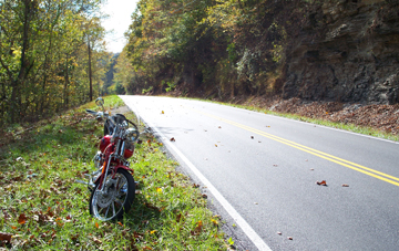
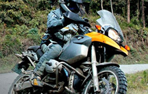
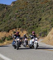
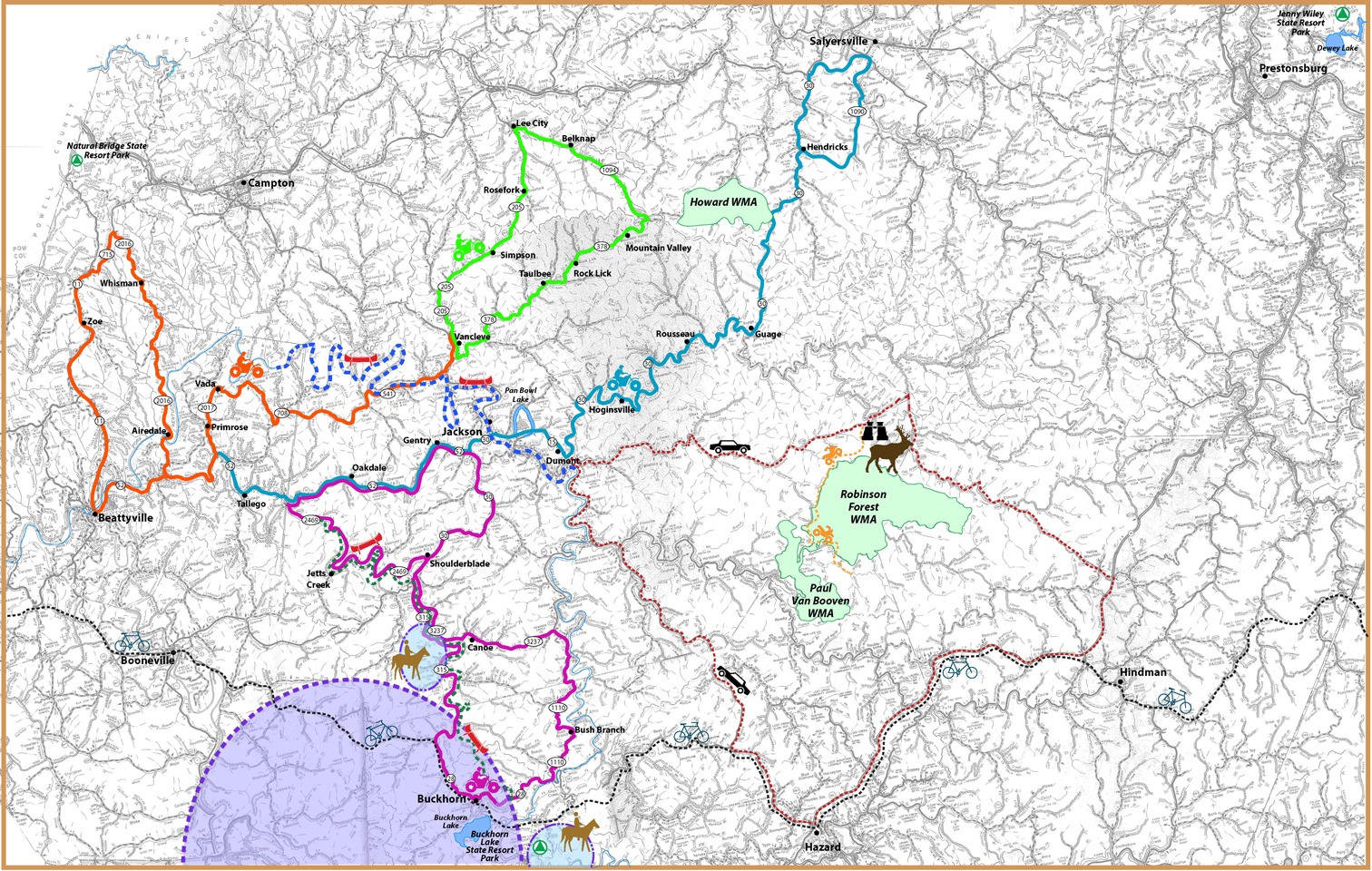
VENOM TRAILS Venom Tours are a great way to explore the winding roads of beautiful Breathitt County, Kentucky on your favorite motorcycle or even in a car. Breathitt County is 495 square miles of hills and valleys, all for your riding pleasure! See below for the 4 different venom routes. http://wickedtwistedroad.com
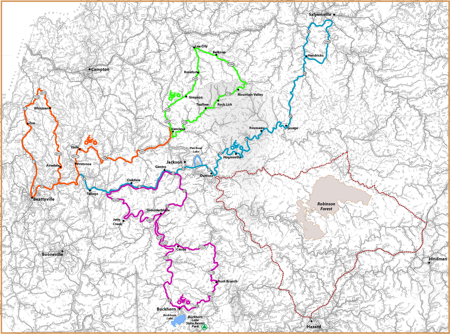
(click on map below for a larger version)
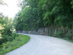
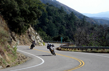
The Black Widow This is an exceptionally scenic ride that begins with a series of steep switchbacks then settles the rider into a rhythmic groove of right and left hand curves. You'll be torn between watching the road and the beautiful landscape. Watch for unmarked hairpin turns and wildlife. Total Mileage: 54.4 miles Gas Availability: Fair. Gas up before you leave Jackson.
The Rattler The Rattler is coiled and ready to strike, beginning with a run of several mountains with ridiculously sharp and steep curves. Look for the Log Cathedral at Buckhorn. A short side trip will bring you to Buckhorn Lake State Resort Park. The second half of the route is still twisty but with fewer changes in elevation and features roads less traveled. Alert riders will find American buffalo on the second half of the route. Sport bike enthusiasts take note - this is the most technically challenging of the tours. Total Mileage: 72.1 miles Gas Availability: Good. Gas is available at the junction of Hwys 28 and 110 as well as on Routes 30 and 52.
Copperhead Road This route follows Quicksand Creek and features one long sweeping curve after another, punctuated by short straight stretches with several hair pin turns thrown in for good measure. The route starts and ends in Breathitt Co. but dips into neighboring Magoffin County. Watch for old-fashioned swinging bridges and be sure to stop and stretch your legs and have a bit to eat at Rissa’s Mini Mart at Rousseau, KY. The curves on this route can prove longer and sharper than anticipated. Total Mileage: 72.5 miles. Gas Availability: Good.
THE FATAL FIDDLER The Fiddler weaves an intricate design up, over and around the back roads of Breathitt
County, then crosses briefly into Lee and Wolfe Counties before drawing you back to the center of its web. This loop is a back-roads beauty. The roads are often narrow and quite curvy. The route climbs steadily in elevation until you are riding the ridge tops with spectacular views all around. You may even see ostriches and llamas on this route if you pay attention. Total Mileage: 75.6 miles Gas Availability: Good.
Trail Map Below(click on for larger version)
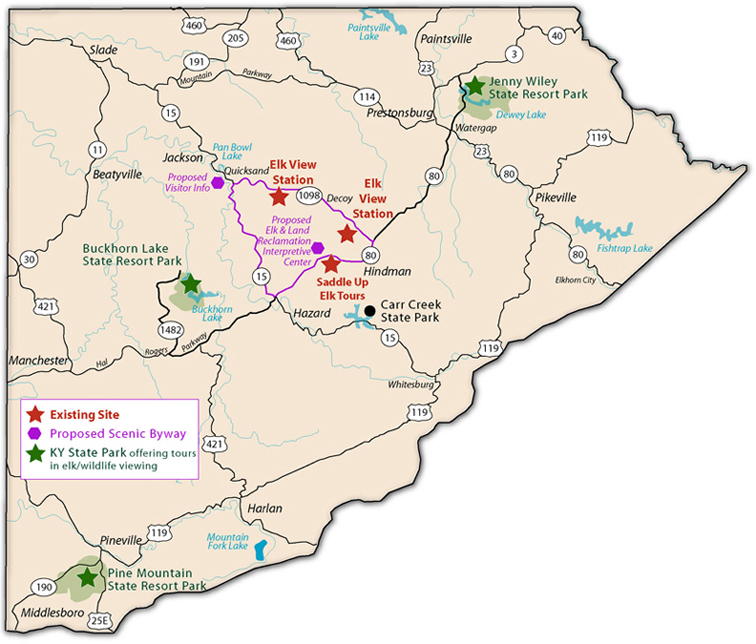
Scenic Byway - travels through three counties and by two elk viewing stations. In Breathitt County it travels by the South Fork Elk View Station near Robinson Forest. *see below
ATV Trails - there are two ATV trails located near or in Robinson Forest and Paul Van Booven Wildlife Management Area
The TransAmerica Bicycle Trail goes through the southern portion of Breathitt County near Buckhorn State Resort Park.
Buckhorn/Middle Fork River Trail #1 - Blueway. Canoeing
North Fork River Trail #2 -Blueway. Canoeing
Buckhorn Multi-Use Trails - Motorized Trail Area
Buckhorn Multi-Use Trails - Non-motorized Trail Area for Horseback Riding
SCENIC BYWAY MAP
WMTH Corporation, PO Box 51153, Bowling Green, KY 42102 (270) 792-5300